The earth is, in fact, actually round
You can check that Earth is round from a beach, a campsite or a phone call to a friend in another time zone. People worked it out more than two thousand years ago, and one of them even measured it with shadows.
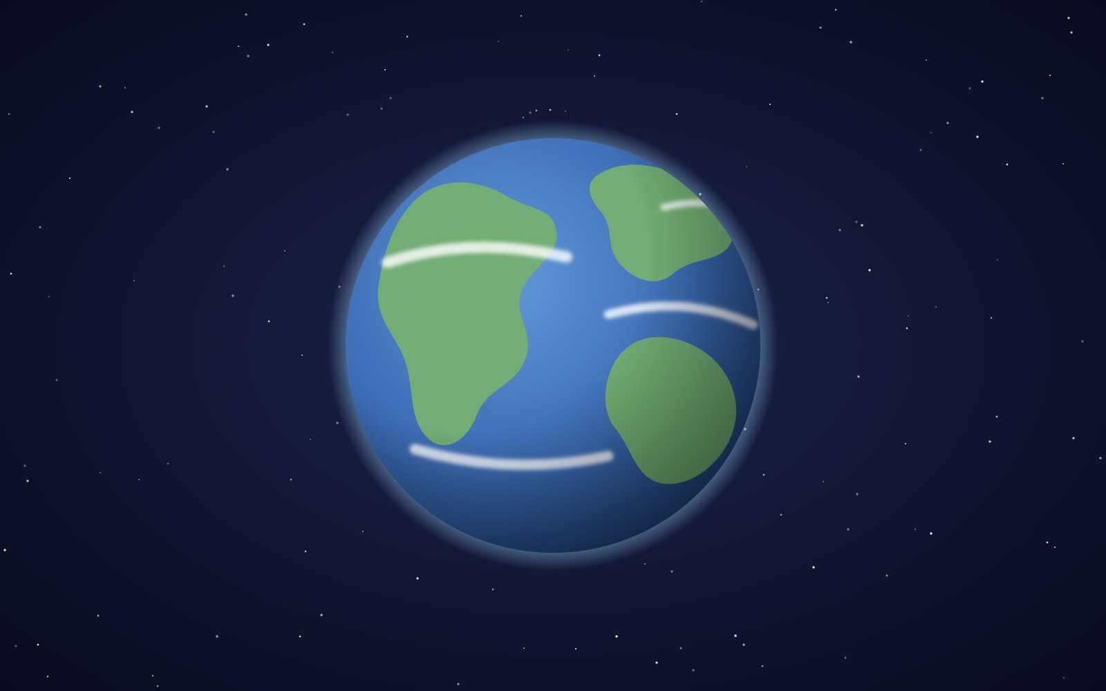
The Earth is, in fact, round. More precisely, it is a slightly squashed ball, a bit wider at the equator than from pole to pole, because its spin makes the middle bulge out a little. You don't need a rocket to confirm any of this. The proof shows up in ordinary places: the edge of the sea, a dark night sky, a lunar eclipse and the clock on your phone when you call someone across the country. People noticed these clues a very long time ago, and ancient Greek thinkers had put them together into a solid case by around 350 BC. About a century later, one scholar in Egypt went further and measured how big the planet is using little more than shadows, geometry and a good estimate of distance.
Earth casts a round shadow on the moon
A lunar eclipse happens when Earth lines up between the sun and the moon, so our planet's shadow slides across the lunar surface. Watch the edge of that shadow and you'll notice it is always curved. The Greek philosopher Aristotle pointed this out in his book On the Heavens, written around 350 BC. He noticed something clever: during its normal monthly phases the moon shows all kinds of edges, some straight, some bulging and some hollow. During an eclipse, though, the boundary is always a convex arc. Since the shadow belongs to Earth, he reasoned, Earth itself must be round. It was one of the earliest arguments for a round Earth built on something anyone could go outside and look at.
There is a subtle detail that makes this argument stronger than it first seems. A flat disk could also throw a round shadow, but only when it faces the light straight on. Tilt the disk and its shadow stretches into an oval or even a thin line. Eclipses happen at all times of night, when the moon sits high overhead or low near the horizon, so Earth is being lit from many different angles. The shadow stays round in every one of them. The only shape that throws a circular shadow from every direction is a ball. So the next time a lunar eclipse turns the moon a dusky red, you are also watching a very old geometry lesson play out across the sky.
Ships sink below the horizon hull first
Stand on a beach and watch a ship sail away. On a truly flat Earth, the boat would just shrink evenly into a tiny dot until your eyes gave up. That is not what happens. The hull vanishes first, then the lower decks, and the top of the mast or the smokestack is the last thing you see. The ship hasn't sunk. It has slipped behind the curve of the ocean, which bulges up between you and it like the top of a very large, very wet hill. Grab binoculars and the effect gets even clearer, because magnifying the ship doesn't bring the missing hull back. No amount of zoom can see through the water in the way, and the bottom of the boat stays hidden.
The same curve explains why lighthouses are tall and why sailors used to post a lookout up in the crow's nest. The higher you stand, the farther your line of sight can reach before it runs into the bulge of the planet. For an adult standing at the water's edge, the horizon is only about three miles away. Climb a cliff, a tall building or a mountain and it moves out to dozens of miles. Pilots cruising at airliner height can see well over a hundred miles to the edge. If Earth were a flat table, climbing higher would make distant things look a little sharper, but it wouldn't reveal whole new stretches of land and sea that were hidden before.
The stars change as you travel north or south
Aristotle had a second argument, and this one involves a trip. He wrote that some stars visible in Egypt and around Cyprus never rise at all for people living farther north. He also noted that stars which stay up all night in northern lands dip below the horizon when you head south. On a flat Earth everyone would look up at the same dome of stars, just from slightly different spots. On a round Earth, walking north or south tilts your personal horizon, so a new strip of sky comes into view on one side while another slips away on the other. Aristotle even pointed out that such a small trip made a big difference, which told him the Earth could not be enormous.
You can test this today with a road trip or a flight. Polaris, the North Star, sits almost exactly as high above the horizon as your latitude, so it climbs as you travel north and sinks as you travel south. At the equator it rests right on the horizon, and south of the equator it disappears entirely. Meanwhile, people in the Southern Hemisphere get to see the Southern Cross and the two Magellanic Clouds, bright patches of stars that most of Europe and North America never see. Sailors used exactly these changes to work out how far north or south they were long before satellites existed. The sky, in other words, has always been a handy map of a curved planet.
Sunrise takes turns around the world
Call a friend on the other side of the country around breakfast time and they may still be in bed. Time zones exist because Earth is a spinning ball, so only half of it faces the sun at any moment. As the planet turns, sunlight sweeps across the surface, and morning arrives in one place while it is still night somewhere else. Earth turns about 15 degrees of longitude every hour, which is why time zones are roughly 15 degrees wide and usually differ by an hour. On a flat Earth under a single sun, everybody would see the sunrise at nearly the same moment. Instead, sunrise moves around the globe like a slow wave, and your group chat with friends overseas proves it every single day.
Travel makes the effect easy to feel. Fly east from New York to London and you lose five hours of clock time, even though the flight itself lasts about seven. Keep going east far enough and you would pass the International Date Line and jump forward a whole calendar day. The Magellan expedition helped show why that line was needed. When the survivors returned to Spain in 1522, their carefully kept ship's log was a full day off from the date on land. They had not lost count. By sailing west all the way around the planet, they had chased the sun and experienced one fewer sunrise than the people who stayed home.
Sailors went all the way around
If you keep going in one direction and end up back where you started, you are probably walking on a ball. That is what the Magellan expedition did. Five ships left Spain in 1519 under the Portuguese explorer Ferdinand Magellan, hoping to find a western sea route to the Spice Islands in present day Indonesia. The trip was brutal, with storms, mutinies, scurvy and starvation. Magellan himself was killed in the Philippines in 1521, and the Spanish navigator Juan Sebastián Elcano led the rest of the voyage home. In 1522 a single ship, the Victoria, sailed back into Spain carrying just 18 of the roughly 270 men who had set out three years before.
The voyage covered about 60,440 kilometers, or 37,560 miles, and it became the first recorded trip around the whole Earth. It did not reveal that the planet was round, because educated people already knew that. What it did was prove it in the most practical way possible: by sailing off in one general direction and coming back from the other side. Since then, circling the globe has become almost routine. Airline passengers can do it in a couple of days, and astronauts on the International Space Station go around roughly every ninety minutes. Each of those trips repeats the same basic experiment Elcano's crew finished in 1522, only with far better snacks and a lot less scurvy.
Astronauts can look down and see it
Then there is the most direct proof of all: go high enough and look down. On April 12, 1961, Yuri Gagarin became the first person to orbit Earth, circling the whole planet once in his Vostok 1 capsule. Since then, hundreds of people have made the trip. Astronauts on the International Space Station live somewhere between about 230 and 285 miles up, according to NASA, and from their windows the horizon is plainly a curve, with a thin blue band of air hugging the edge of the planet. They also go around Earth about every 90 minutes, which gives them roughly sixteen sunrises and sixteen sunsets a day. It is hard to argue with a view like that when you are floating in it.
Cameras got there before people did. On October 24, 1946, a camera tucked inside a captured V-2 rocket launched from New Mexico snapped grainy black and white frames from more than 60 miles up, showing a curved slice of Earth under a dark sky. A few decades later the pictures got much better. On December 7, 1972, the crew of Apollo 17 photographed the whole planet at once on their way to the moon, a fully lit round Earth hanging in black space. That shot became known as the Blue Marble, and it is still one of the most famous photos ever taken. Today, weather satellites send back full views of the globe about every 10 minutes, so you can check the shape yourself any day of the week.
The Greeks measured the planet with shadows
The idea of a round Earth goes back at least to the ancient Greeks in the fifth century BC. Later writers gave credit to Pythagoras, though historians aren't sure how accurate that is. By the time of Aristotle the case rested on real observations, and around 240 BC a scholar named Eratosthenes, who worked in Alexandria, Egypt, measured the planet. He knew that at noon on the summer solstice the sun stood directly overhead in the town of Syene, far to the south, so upright objects there cast almost no shadow. At the same moment in Alexandria, a vertical stick did cast a shadow. The angle of that shadow was about one fiftieth of a full circle, a little over 7 degrees.
He reasoned that the sun sits so far off that its light lands on every part of Earth in straight lines running side by side. If so, the shadow angle in Alexandria matched the slice of Earth's curve between the two cities. The distance between them was about 5,000 stadia, so the whole planet had to be about 50 times that, or 250,000 stadia. Nobody knows exactly how long his stadion was, so modern estimates of his accuracy range from very close to around 17 percent off. Either way, he landed in the right range for a world that measures about 24,900 miles around the equator. Scholars kept this knowledge alive for centuries afterward, and historians note that educated people in medieval Europe accepted a round Earth long before Columbus ever sailed.
The next time you watch a boat drop below the horizon, spot a new constellation on vacation or text a friend who is already asleep, you are looking at the same clues people used thousands of years ago. The photo astronauts took on December 7, 1972, aboard Apollo 17, known as The Blue Marble, simply showed the whole round planet at once.
More articles
The moon is, in fact, an inanimate, dusty old rock
The moon is a layered ball of rock about 4.5 billion years old, wrapped in sharp gray dust and almost no air. Here is what it is made of, where it probably came from and why it barely changes.
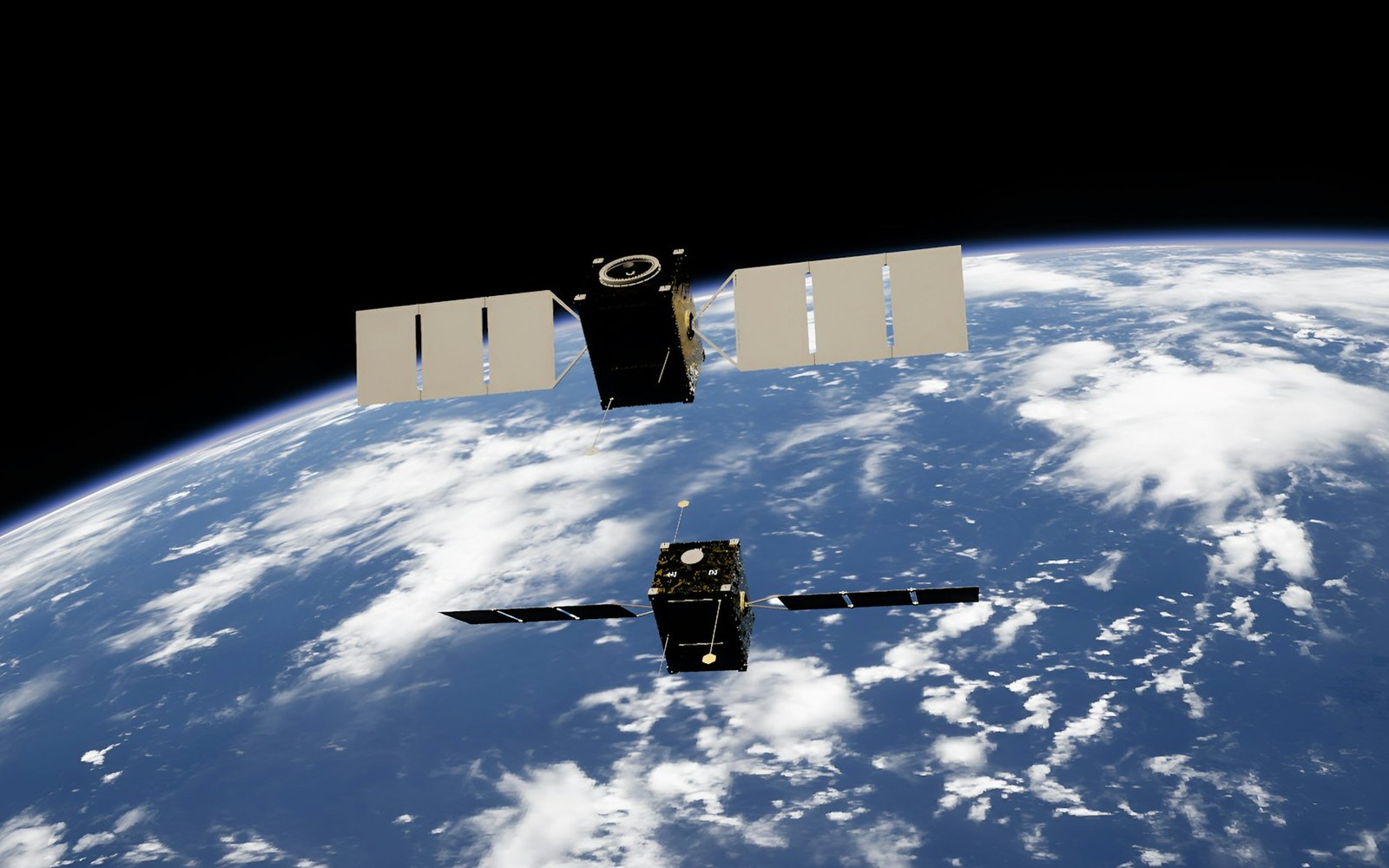
How solar storms mess with satellites
The sun has weather, and some of it reaches us. Here is how solar flares and the storms that follow can sink satellites, scramble GPS and even trip power grids, and how people keep watch.
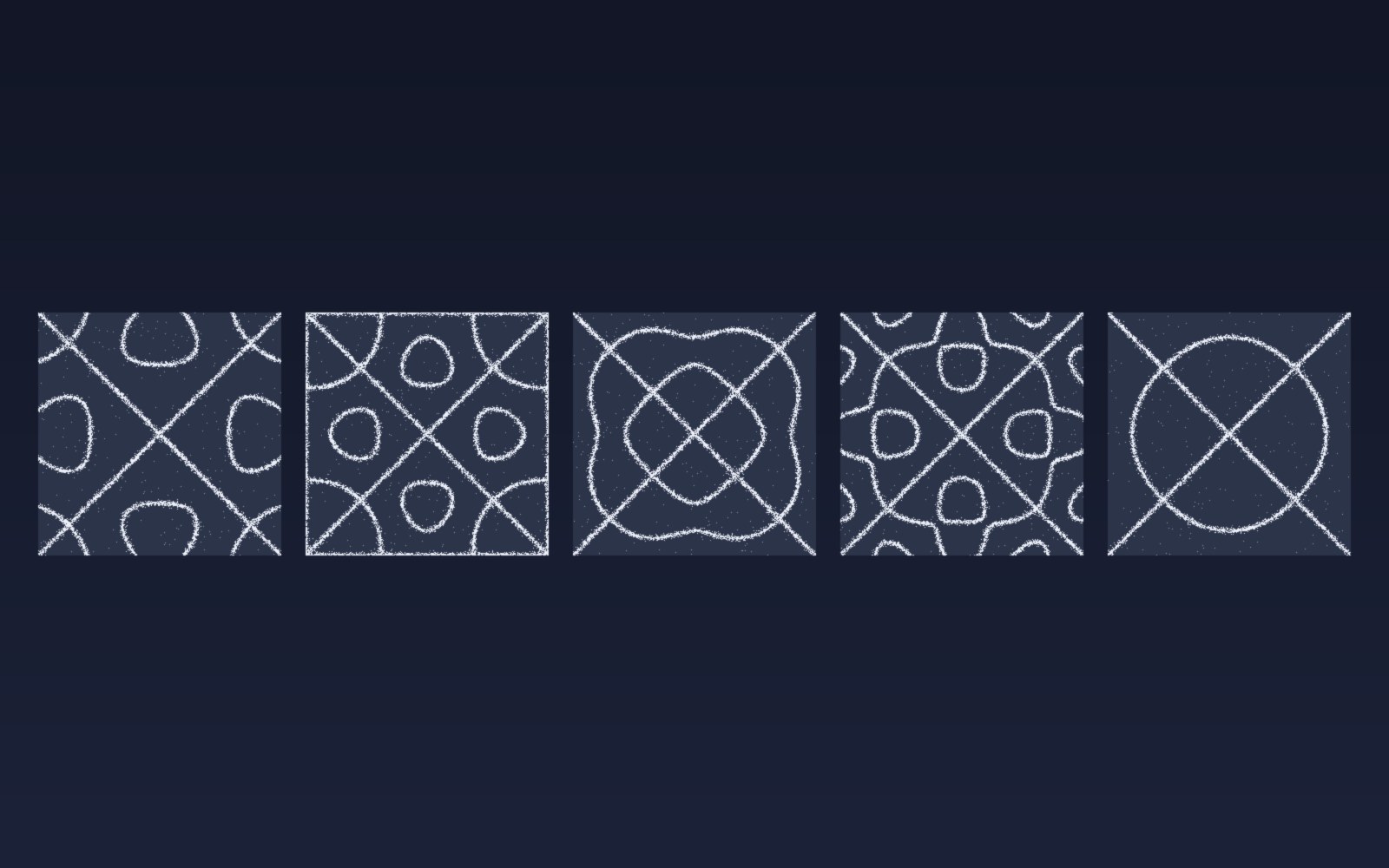
Patterns in sound
Sprinkle salt on a drum, play a steady note, and the grains slide into neat lines and rings. Here is why sound draws pictures, who first noticed, how to try it at home, and what all this has in common with a snowflake.

Most of the sound around you goes unheard
Human ears catch only a middle band of all the sound there is. Here is what we miss, which animals hear it, and why the hums and whines from our own gadgets can still get under our skin.
What is LaserSETI?
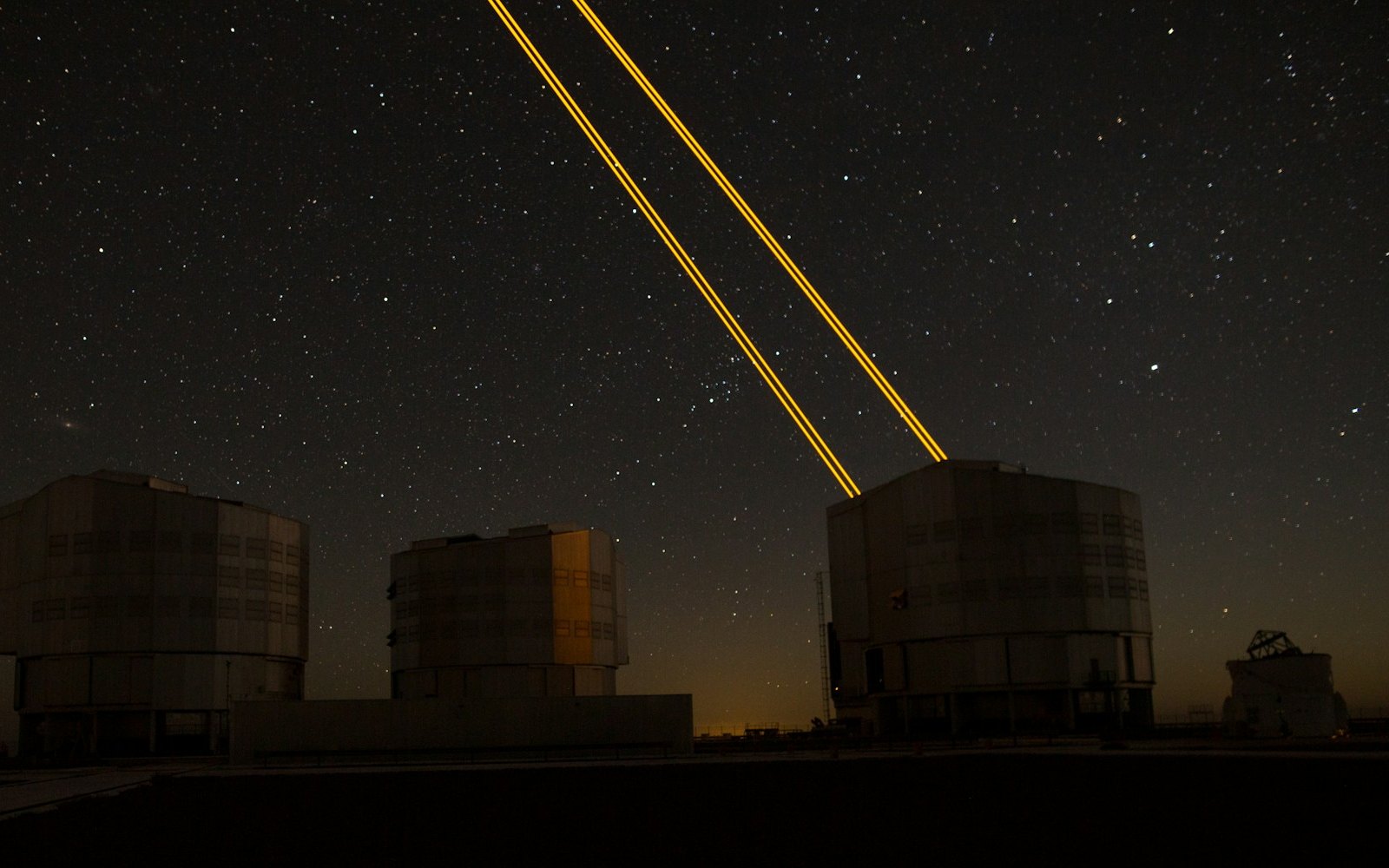
LaserSETI is a growing network of rooftop cameras that watch huge patches of the night sky for a single-color flash of light. Here is how it works, where the stations are in 2026, and what it has (and has not) found.
Most of the light around you is invisible
Our eyes catch only a thin band of all the light there is, from violet to red. Here is what we miss, which animals see more of it, and how we use the invisible rest every day.

The science of music
Why a good chorus gives you chills, why the Mozart effect fizzled, and why some songs refuse to leave your head. Here is what the research actually says about music, mood and focus.

Bill Nye is still teaching
A science show from the 1990s is still turning up in classrooms. Here is what Bill Nye the Science Guy was, why so many grownups remember it so fondly, and why teachers keep pressing play.
Why is the sky blue?
The sky is blue because the tiny bits of gas in the air reflect blue sunlight around much more than red light, so blue reaches our eyes from every part of the sky.
Why the sun and moon look the same size
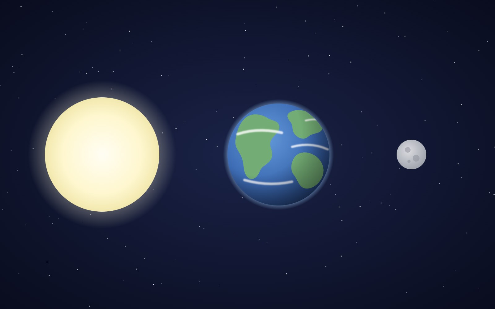
The sun is about 400 times wider than the moon and also about 400 times farther away, so the two discs look almost the same size in our sky. That match is a coincidence of timing, and it will not last forever.

Bees fly more like drones than planes
A bumblebee stays in the air the way a drone or helicopter does, by moving its wings fast instead of racing forward over a stiff wing.
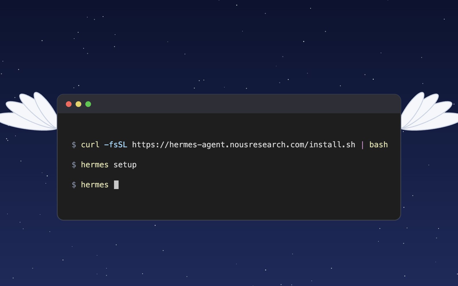
What is Hermes?
Hermes is an open source AI agent harness from Nous Research that runs on your own computer, uses tools, remembers past sessions and learns skills. Here is what it does and how to install and set it up.
Meet the Night Sky UI Kit
Three animated React components for dark, night-sky themed sites: a star cursor, a twinkling starfield and a soft aurora glow. Here is what's inside and how to add it.
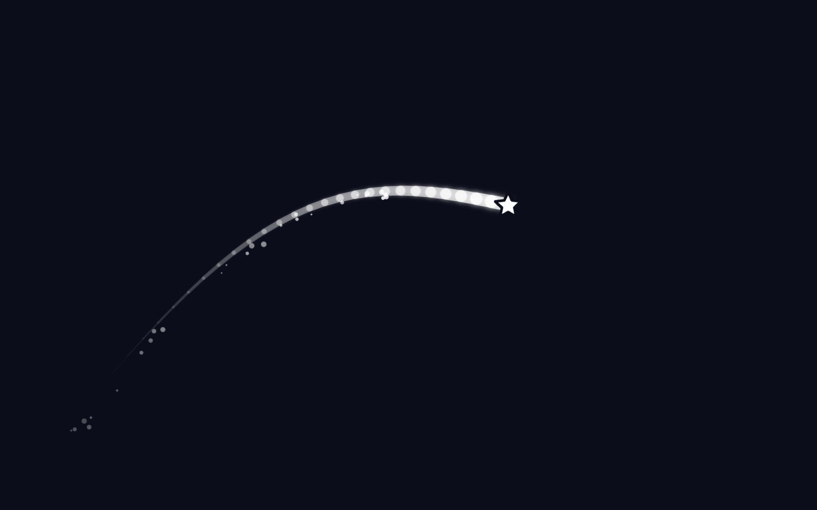
Behind the Star Cursor
How the Star Cursor draws its comet tail and sparkle dust, and why it quietly steps aside on touch screens and for anyone who prefers reduced motion.
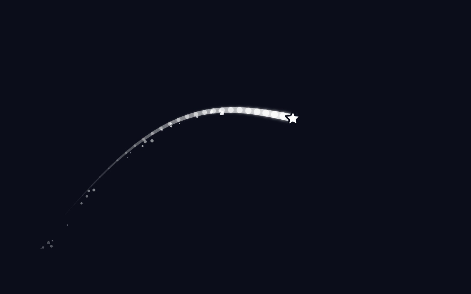
5 trendy UI effects
A star cursor with a comet tail, frosted glass panels, scroll-driven animation, smooth page transitions and gradients that actually move, plus the one tip we would give for each.
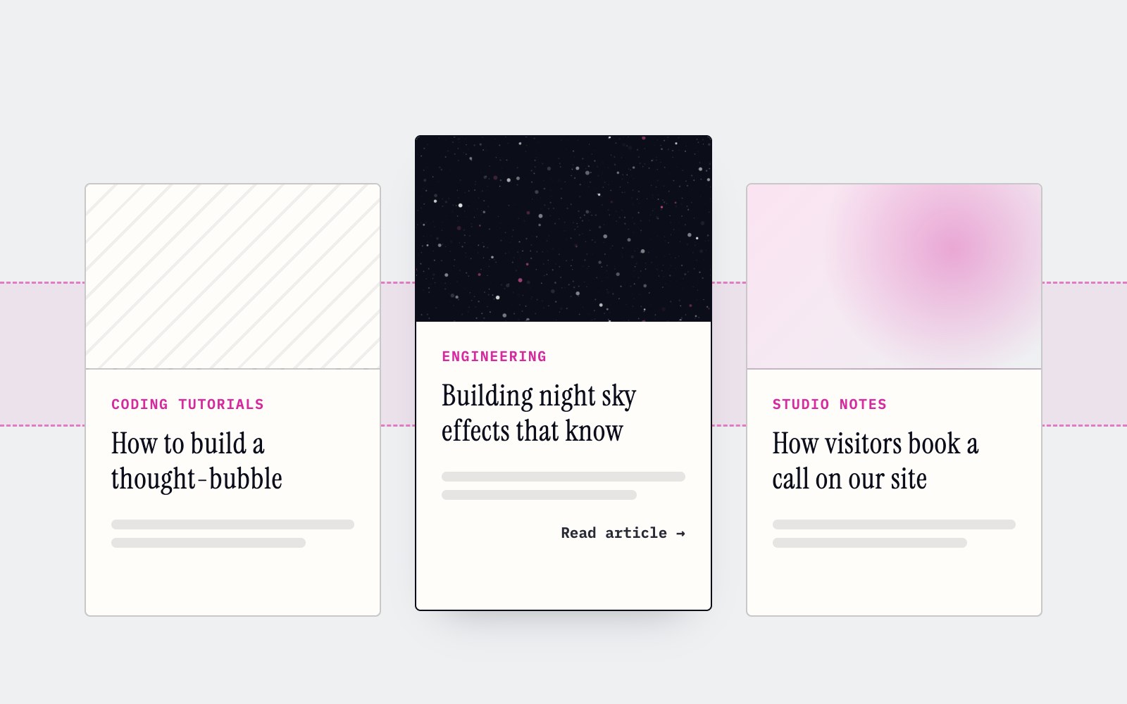
How to make cards lift as you scroll on a phone
Phones can't hover, so our blog cards used to sit flat on mobile. Here's the small CSS class and IntersectionObserver we use to lift whichever card is in the middle of the screen as you scroll.

What llms.txt is, and how we added one to our site
A plain-English look at llms.txt, the proposed markdown file that gives AI assistants a short map of your site, what it can and can't promise, and how we wrote and tested our own.
Tell Google who you are with a few lines of code
Small business names collide, and search engines have to guess which one you meant. Organization structured data is one way a site owner can stop them guessing. Here's what it is, what we put in ours, and how to test it.
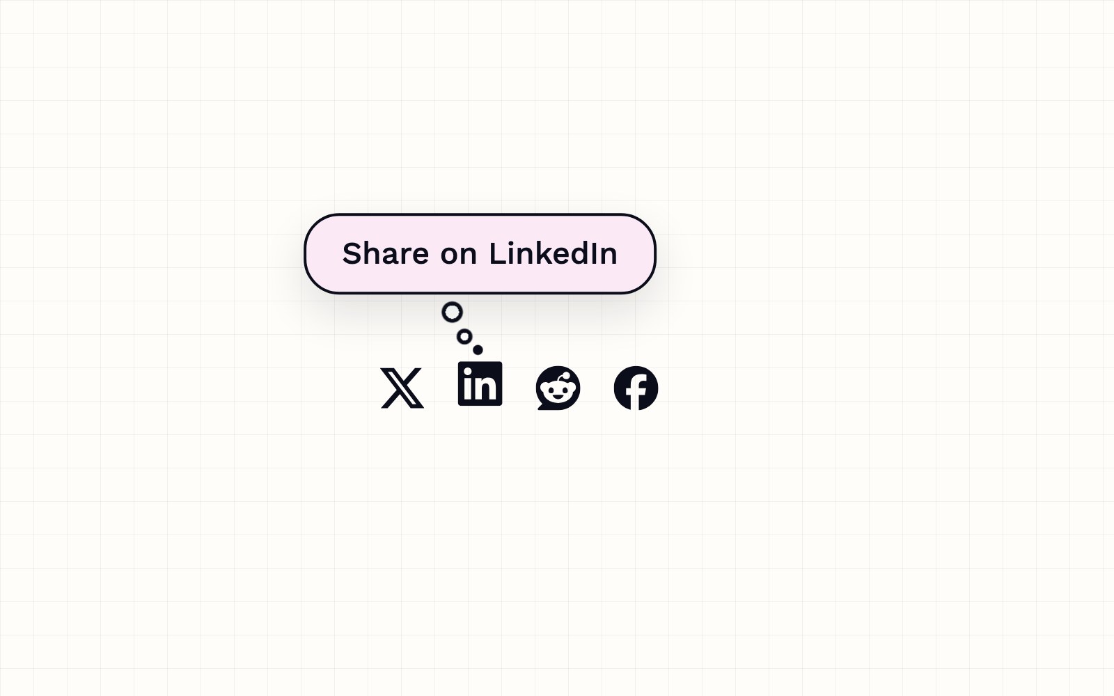
How to build a thought-bubble tooltip with pure CSS
A step-by-step CSS tutorial for a tooltip that reads its label from a data attribute, pops up in a rounded bubble, trails off in three little circles and stays clickable, with no JavaScript.

Building night sky effects that know when to sit out
How the Night Sky UI Kit's star cursor, starfield and aurora check the visitor's device and settings before they draw a single frame.

How you can set up pull requests to get an automatic first review
Give every pull request an automatic first review the moment it opens, and send each new pull request and its review to a dedicated Slack channel. Here is how the pieces fit.
How visitors book a call on our site
Picking a time with us takes a few clicks and never leaves the page. Here is how the booking calendar on our site works, and the small checks that stop two people grabbing the same hour.
Inside our resumable, review-gated video production pipeline
How we built a local seven-step pipeline that turns a history topic into a captioned video, with resumable state, bounded retries, and a human review gate.